My alarm went off at 12:30am. I had 30 minutes before I would need to be on the road to Carricklittle Car Park in the eastern Mournes. I was to meet my friend Colm Kelly. He would start the round with me at 3am, a further 30 minutes down the road in Newcastle. Colm and I would run the first 3 hours together before I would continue on for another 16, whereas he would go on to work!
The Denis Rankin Round is an ultra endurance and navigational challenge set in the Mourne Mountains. It’s a clockwise or anti-clockwise self-navigated route, following a list of 39 peaks, all to be completed in under 24 hours. In total, it covers approximately 90km with 6500m of elevation gain. The route was devised by some members of Denis Rankin’s fell running club, BARF, in memory of Denis, a pioneer in Northern Irish fell running.
My schedule for the day was 22-hour worst-case scenario, with the aim to start quick and build up a time buffer before naturally slowing as I tired. I knew I could move quicker than 22-hour pace even on tired legs. I ran the round at 22-hour pace over two days only a month or so ago, and that was with a 5Kg backpack! Physically the only thing I needed to protect were my knees on the descents, so that was my main concern. A sore knee had severely slowed me during the latter stages of the CCC last summer.
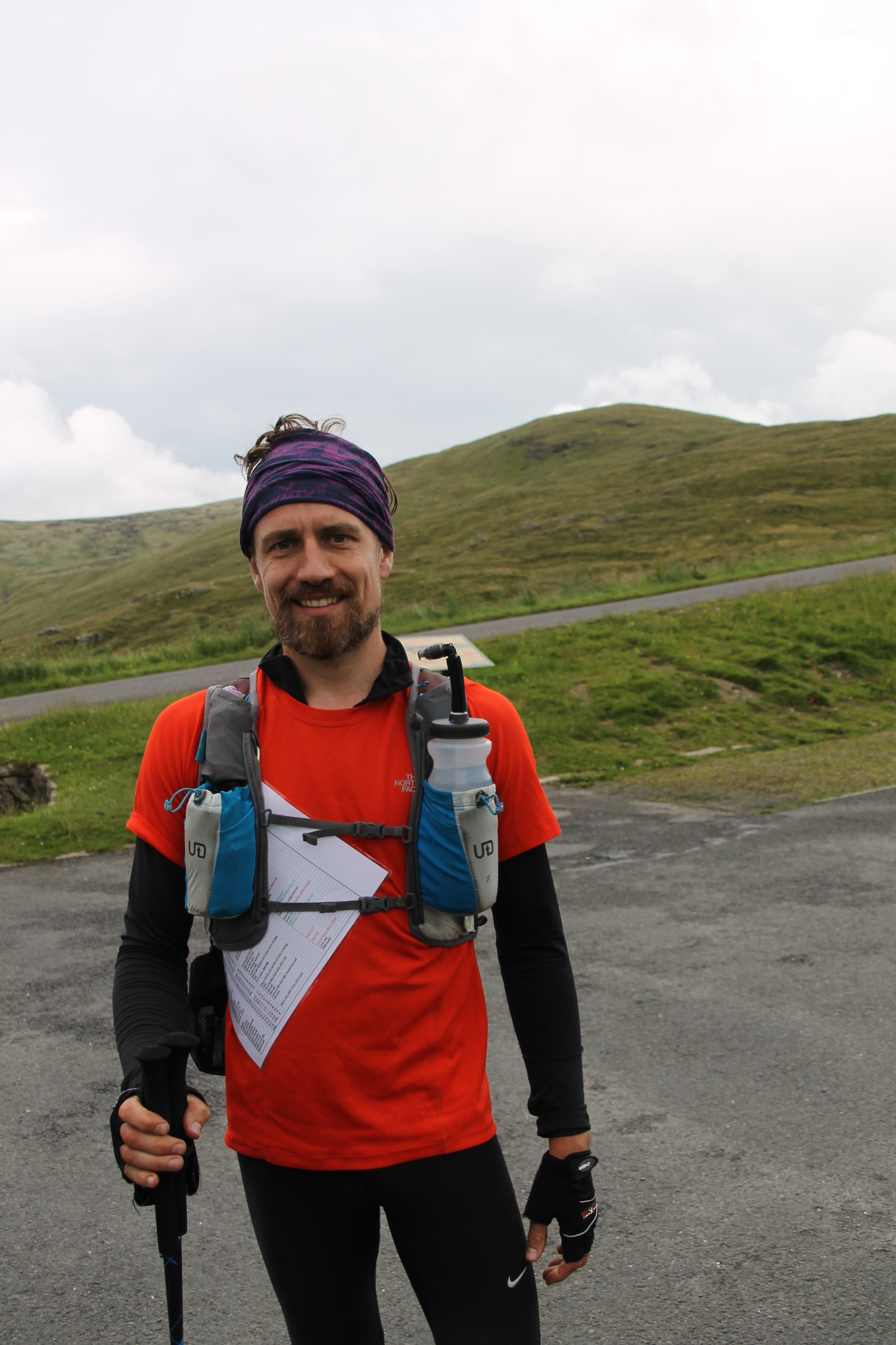
Colm and I arrived in Donard Park shortly after 2am. Dawson Stelfox was already there. He had agreed to support my attempt by meeting me at a couple of locations with supplies. I passed over my bucket of treats and readied for the off. It was very windy – surprisingly so. This wasn’t forecast, so to save a chill, we set off 10 minutes early at 2:50am.
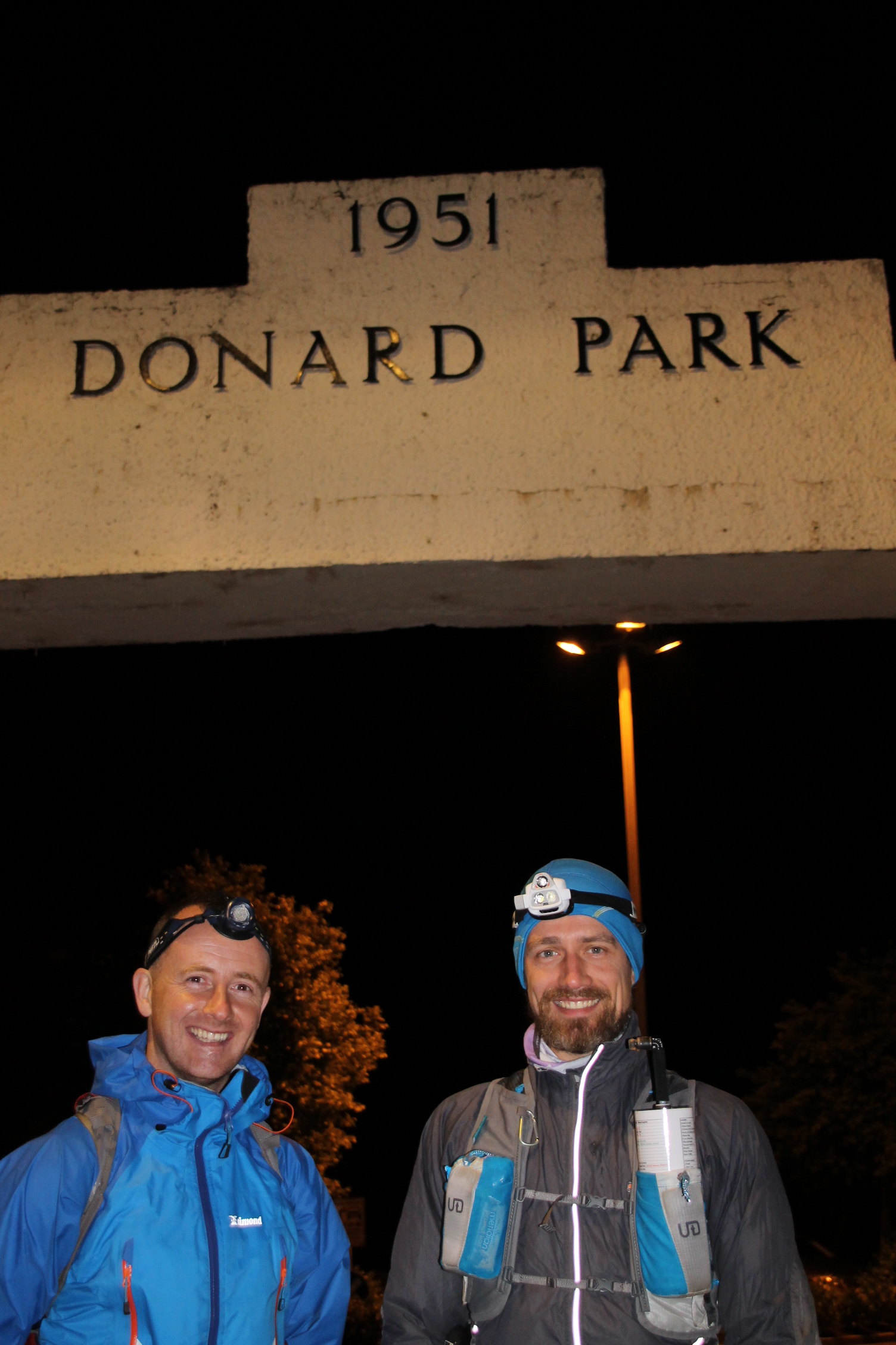
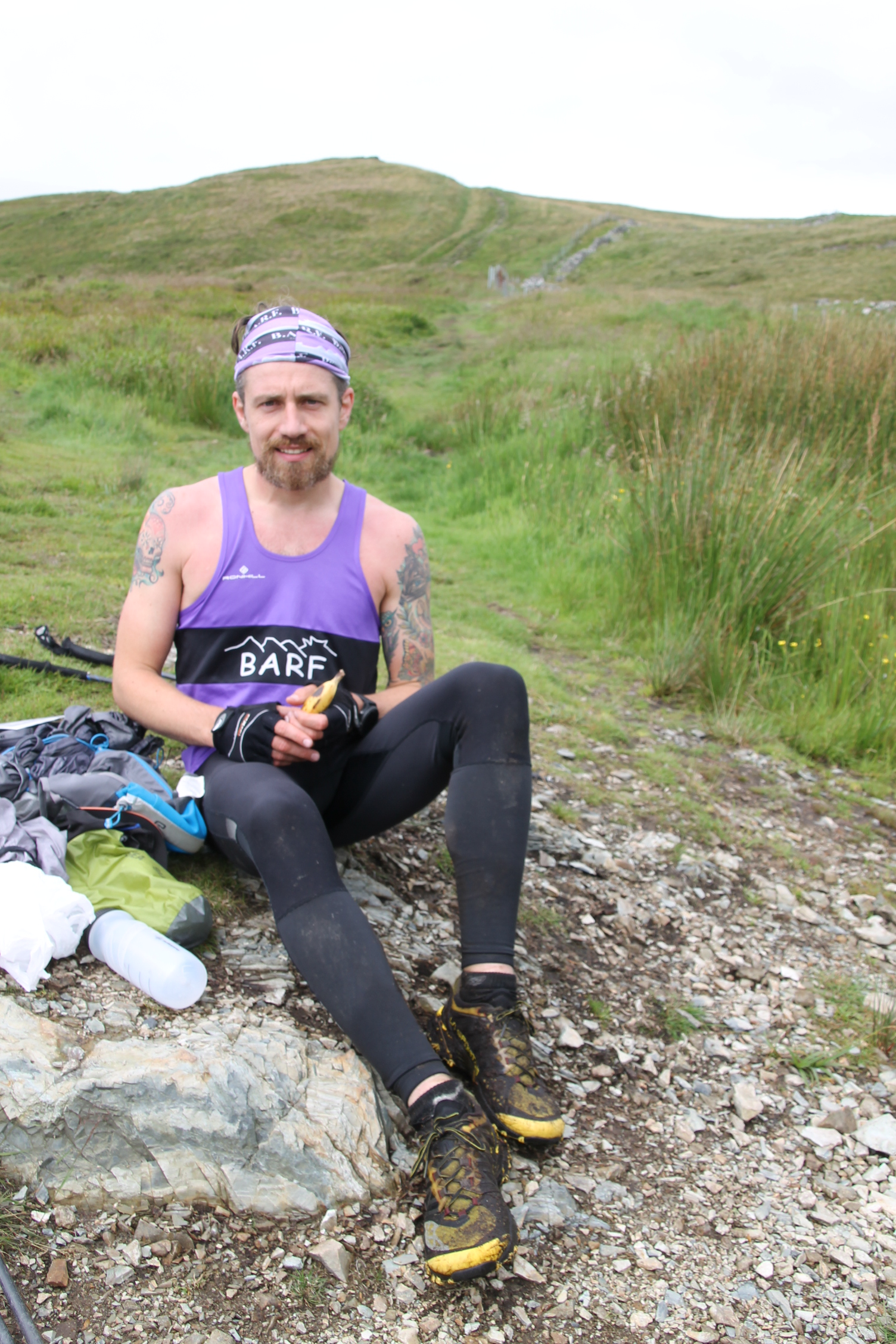
Colm and I before the off!
I tapered leading up to the round, so my legs and lungs were bursting to get started. We made good progress up through the forest and straight up Slieve Donard via the Glen River route. It was pitch black, windy, and also misty above the Col. We pushed on and summitted on schedule, then descended towards Chimney Rock.
Dawn was upon us as we traversed Chimney Rock to the summit cairn. It was good running along here, although a compass bearing or two was required early on. Summit bagged, now on to Rocky.
Pushing on we dropped down to the track over thick heather and large boulders, but it was daylight and the weather was improving. We crossed the stile and easily climbed Rocky and ran off alongside the Mourne Wall to the Bog of Donard.
It was slowish moving along the wall, but the legs got a good stretch along the Brandy Pad before veering off track to tackle the Begg-Cove-Lamagan trio. Colm was bowing out after Slievelamagan, leaving me to it for the remainder. He carried some food and water for me to this point, which enabled me to replenish supplies and keep fueled throughout section 2. I restocked at the Lamagan Col, then wished him well on the jog down to Carricklittle. Our next run together would be the Mourne 2 day Mountain Marathon in September.
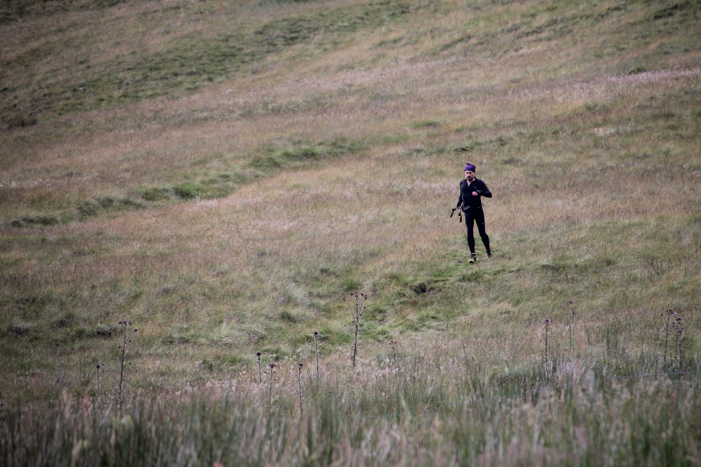
I moved off alone. The ascent of Binnian was easy going along the well-maintained trails. This is in stark contrast to the hateful southern descent to the next summit, Wee Binnian. The worst part of section 1.
Dropping into Silent Valley after 4 hours 50 minutes of running. Section 1 was now behind me. The sun was also getting warmer, so I took off a layer and continued towards the black walking trail and Slievenaglogh. I was keeping a good average pace and steadily moving ahead of schedule.
Summit bagged and descent hammered! I then followed the Banns Road trail along the shore of Loughshannagh before ascending Doan via the Hill & Dale route. I phoned Dawson as I dropped off the summit, advising that I would be at Deer’s Meadow in approximately 60 mins. Shortly after I saw a few hikers contouring over to Ben Crom. A stroke of luck I thought, as the hard to find track is rarely found so easily. I chased on and passed the hikers on the climb up Ben Crom. One of them shouted over “Are you training for the Seven Sevens?”. Little did they know I had another 10 hours of running ahead!
It started to rain as I left the summit. I was expecting short-sharp downpours throughout the day, so I stopped to put on a jacket and continued.
My route from Ben Crom to the base of Slieveloughshannagh was very good; better than any recce. I followed the track from the summit until it disappeared, then dropped down and followed the Ben Crom River all the way to Slieveloughshanagh. It only petered out at the very end. Still windy, but no longer wet, so jacket off for the easy run up Carn.
I climbed on the inside of the Mourne Wall, before descending toward Muck and cutting the wall corner before the ascent. I was on track to meet Dawson ahead of schedule.
Around the Slieve Muck Trig point and off down the hill. My left knee was a little stiff at this point, but I could see Dawson in the distance and section 3 was nearly over. The journey into the western Mournes was next, and all the difficult wet-grassy-ground that it entails.
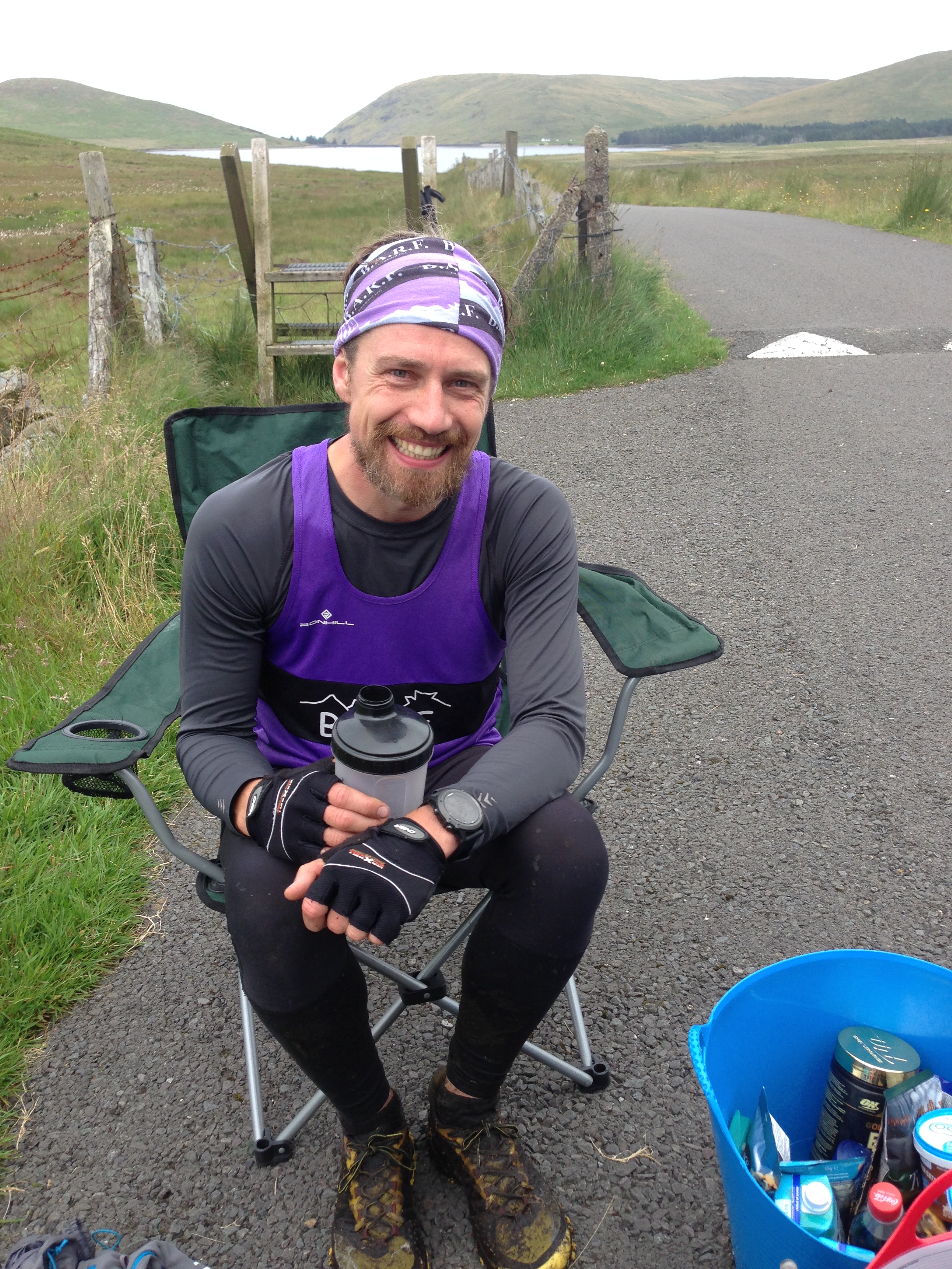
Arriving at Deer’s Meadow
I arrived into Deer’s Meadow after 8 hours. Approximately 1 hour up on schedule!
Breakfast!
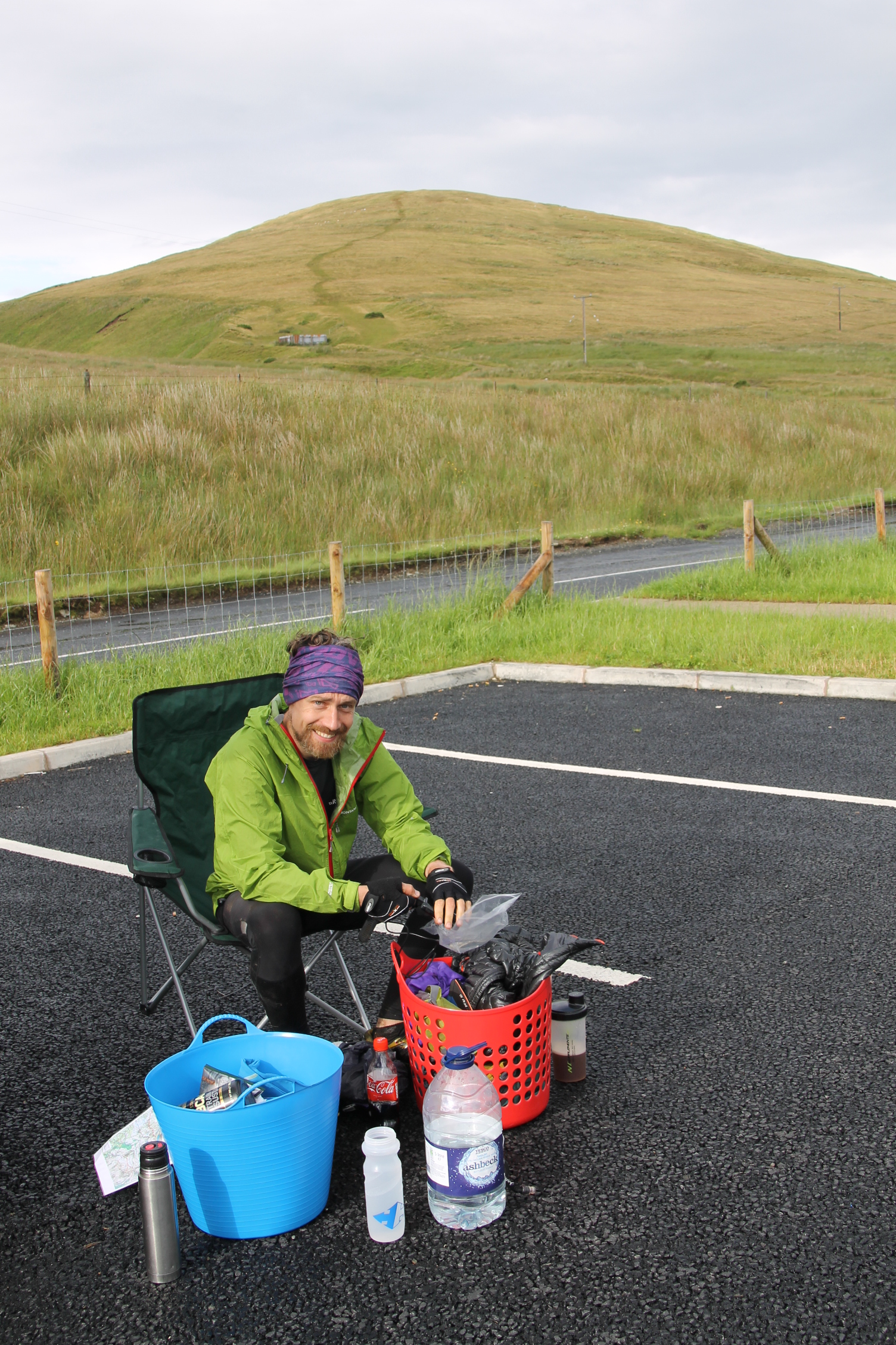
All my stops were planned to be quick, so I restocked supplies while I eat and chatted to Dawson. Spirits were good and it was great to chat over the day so far. I set off, food in hand to climb Pigeon Rock, knowing I would next see Dawson at the Slieve Martin Col around lunch time.
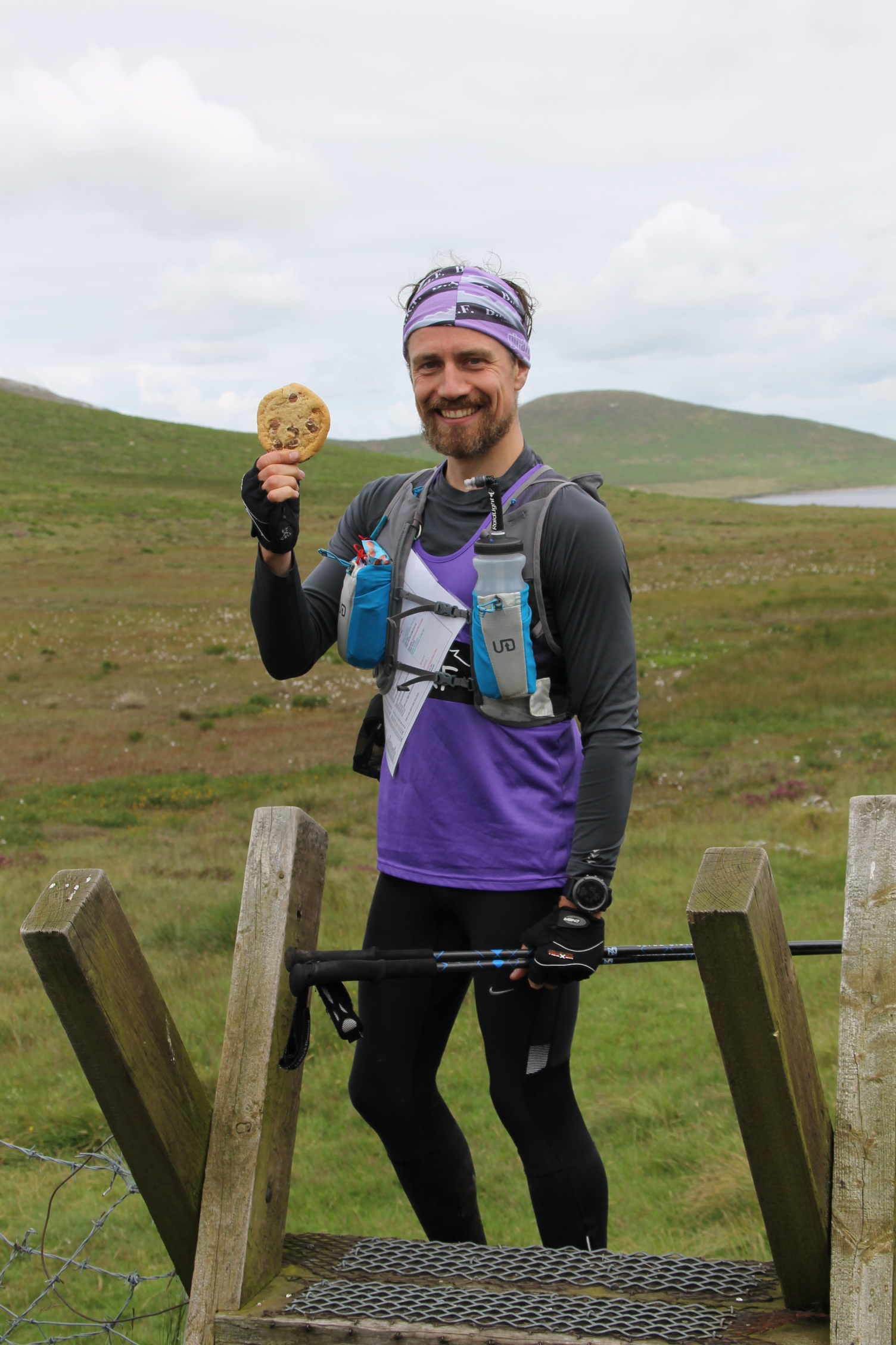
Been waiting on this all day!
The sun was out again and it was getting warm. I pushed on and descended towards Slievemoughanmore. On the climb, I thought about Denis Rankin. It was on this very hillside that Denis passed away during a fell race only a few year prior. That was my first and last time racing that particular Hill & Dale route.
I have rarely descended to Wee Moughanmore without fog, but today I could see this tiny hill in all its glory. I descended easily over to the summit and contoured to Windy Gap.
The heat was a bit much and I wasn’t feeling good as I was climbing Eagle. I stopped and took off another layer leaving only my BARF vest. This was a good move. I also heard voices on the other side of the wall. Shouted over a hello and kept pushing. I dropped a bit of time here, but I wasn’t too worried as there was some better-running ground ahead.
Eagle summited and the easy climb to Shanlieve behind me, I began the run over to Finlieve. At this point, I was stopped by an English couple asking for directions to Attical! I showed them their position on the map and advised they head for a track alongside Red Moss River, before I ran off to negotiate the 6-foot peat hags of Shanlieve. I phoned Dawson and advised that I was approximately 90 minutes from Slieve Martin.
Back on target, I rounded the summit cairn of Finlieve and descended towards the forest corner in the distance. This was a good descent, although the grass was much more runnable only a month or two ago.
I climbed along the waterlogged edge of the forest and entered at an unmarked entry point, before ascending through a few different trails to pop out facing the radio mast. This forest section seemed to go on forever, but it was good to get out of the sun for a while. I enjoyed a nice packet of salted almonds at this point. Yum!
Heading towards Slievemeen I could see Dawson at the Col. I waved over to acknowledge that I had seen him. I was a bit later than I had anticipated, although I was still well ahead of schedule.
Slieve Martin Pit Stop!
I arrived at the Col after 11.5 hours completing section 3 ahead of schedule. It was quite hot, but I felt good. The stop was short and sweet as expected, refuelling as I restocked my pack. It was a good sign feeling so good at this stage. I had also managed to have good visibility for most of the round. Having the same weather through section 4 would certainly help. Off I went again, advising Dawson that I would phone from Rocky Mountain with an ETA to Spelga Dam.
I ran off towards Slieve Martin, rounding the trig point at the top. A few hikers were here admiring the views across Carlingford Lough. They asked me “are you doing some sort of round?”. I informed them that I was 12 hours into a Denis Rankin Round attempt. They wished me well as I tripped running off towards the fence line.
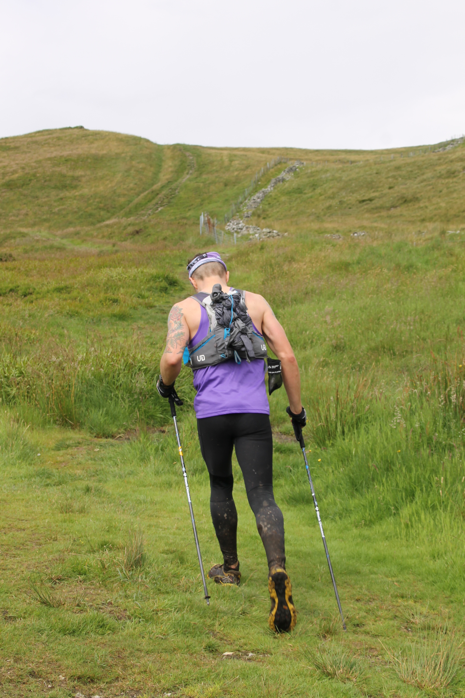
Section 4 underway!
Down now to Crenville and boy were there some surprises in store! This small hill is notorious for long grass and the lack of any defined tracks. The last time I was here the grass was a comparatively pleasant waist height. Today, after all the rain and heat of preceding weeks, the flipping grass was up to my shoulders in places! I lost 10 minutes in this short tricky section. It was terrible. Normally I would refuel while traipsing through Crenville, but I had only just refuelled, so I had to look for another distraction! Thankfully the route choice was simple. I’ve been here so many times. Going right back to the original BARF group recce when the Denis Rankin Round was under development. Gareth McKeown and I ran section 4 starting at 10pm on a very wet and cold September night. It was Dawson that set us off on our merry way that day too.
Crenville negotiated and now contouring Slievemeel on the mountain bike trail. I was making good time, although I could see heavy rain to the west. It was moving my way and I could feel the rain on my face as it blew in on the wind. I said to myself that I wasn’t stopping for the rain jacket until I reached the summit cairn, but by this point the rain was falling overhead.
Jacket on and hood up. It was raining heavy and the wind made it quite cold. I couldn’t run well off Slievemeel. The heather was too heavy. It was an energy sapping start-stop the whole way to Red Bog, but then there was a nice runnable section through to Yellow Water and an easy climb to Tievedockaragh. The rain had now stopped and I was pushing on to gain back lost time.
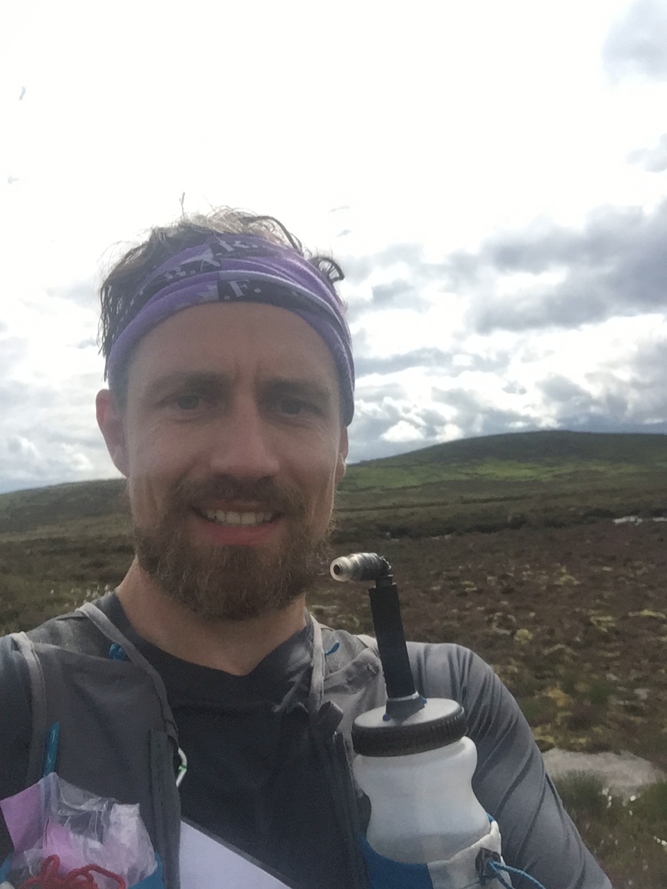
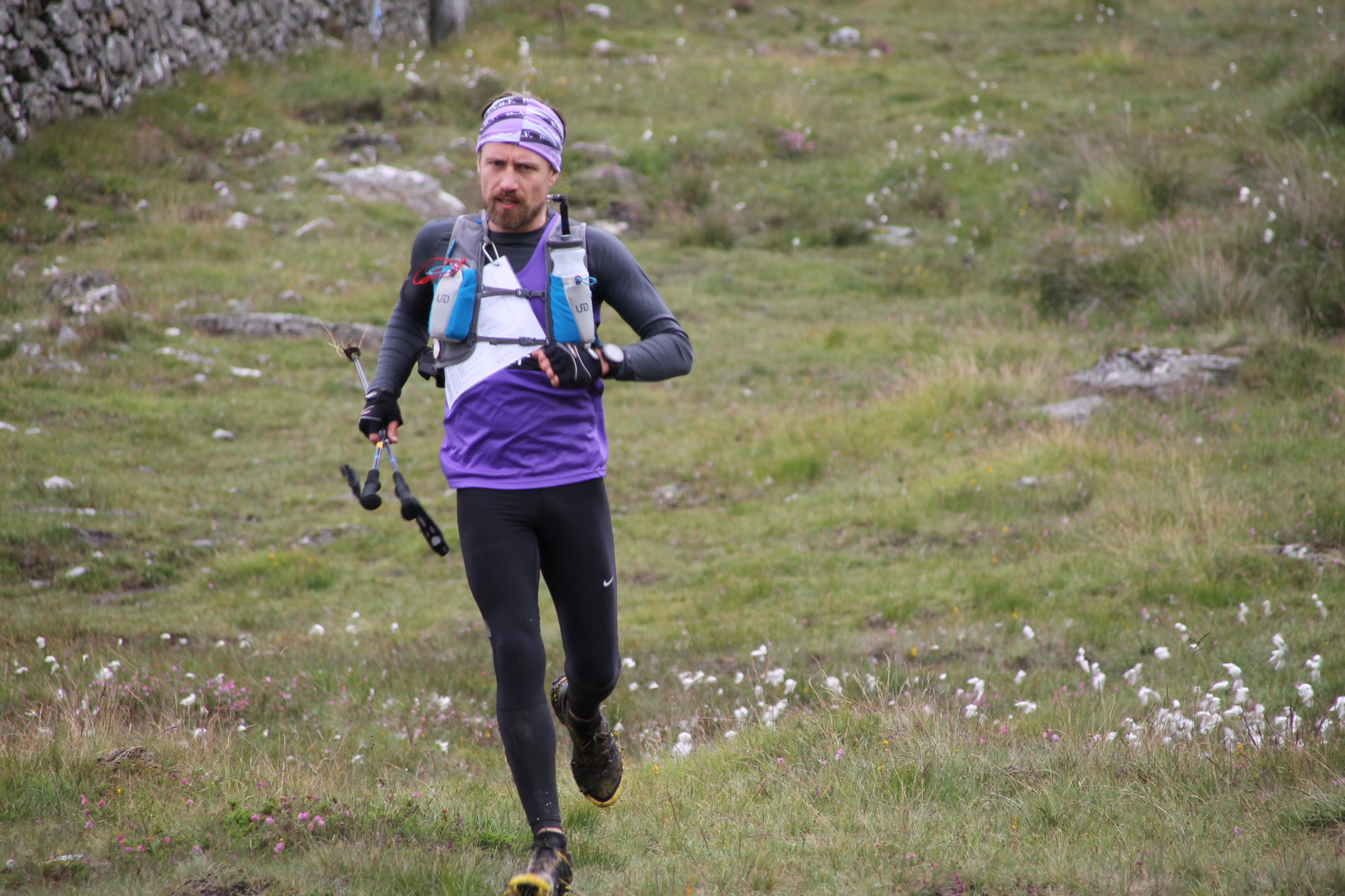
My only selfie of the day!
The running from Tievedockaragh through to Rocky was very good. I made up all the lost time and then some. I tried to call Dawson from the summit but couldn’t get through due to poor mobile signal, so I sent a text message with my estimated ETA.
Leaving Rocky I chose to descend to the Mourne Way, although I had always went for a more direct line during recces. The rough ground from earlier was the reason for this decision. I just wanted to run. The Mourne Way descent was very fast – I was flying! This section was the source of my only fall all day. My thought just prior to the fall was “wow, I’m flying down here. Am I even in control…” *splat. I guess not. No harm done!
I filled up while crossing Rocky Water, before starting the slog up the side of Cock Mountain. To make matters worse it started raining again. I put on my jacket and marched on. The grass was very long. Long and wet. It was soaking me all over again, but all I could think about was whether Dawson got my text message. I needed to refuel before section 5 and I may need a headtorch too. What would I do if he wasn’t there?
I summited Cock mountain well ahead of schedule. It took 10 minutes over to Slievenamiskan and a further 10 to Spelga Dam. I was covering ground really well and enjoying the run.
I couldn’t see Dawson’s car as I arrived into the Water Commissioner’s private car park, but just as I threw my leg over the wall to enter the public section, Dawson arrived. I was happy. I had also moved further of schedule, finishing section 4 in 15 hours 35 minutes.
Spelga 🙂
We chatted as I refuelled and restocked, taking slightly longer here than previously, as I changed into dry clothes. I still felt good and wanted to push ahead and maybe get this round finished in daylight. I left my kit with Dawson for the short Spaltha-Slievenamuck section, before meeting again in 45 minutes at Ott Car Park. I said to Dawson that I would try for a sub 20 finishing time.
Descending Slievenamuck
I left the car park, heading a short distance up the Ott track before taking a direct route to the summit. I was moving well and kept a consistent pace. This continued as I ran off Ott towards Slieve Loughshannagh. That was until the climb up Slieve Meelbeg. I slowed on this steep climb and the average pace that I held all day dropped slightly. I knew it would be hard to get his time back given the next few hills – Slieve Meelbeg and Bearnagh.
Leaving Ott Car Park – the final push!
I pushed on and descended Meelbeg, followed by a contour of Meelbeg before a shorter sharp climb to the summit cairn. I then descended via the lesser wall – a much nicer route in my opinion. Even at this late stage in the day it was easily runnable.
Slieve Bearnagh was next. As the largest single climb on the second half of the round, I knew that getting over this hill would be a mental milestone. After Bearnagh the section along the Mourne Wall from Slievenaglogh to Commedagh is a favourite training route, so it tends to mentally pass quite quickly.
Climbing Bearnagh I passed a couple of night hikers. The sun was starting to fade and these guys were heading to the summit for an overnight camp. We chatted briefly, as they struggled up the hillside with heavy packs, but the brief chat was welcomed. All 60 seconds of it!
I descended Bearnagh well – better than expected, as it’s not usually a nice descent with tired legs. Then down through a herd of confused sheep around Hare’s Gap and onto the short stepped climb to Slievenaglogh.
I had kept a close eye on my pacing all day. I knew it had taken around 60 minutes to descend Commedagh in previous rounds, but that was in darkness. If I kept pushing I could summit Commedagh at or around sunset. I pushed on, only stopping to put on my rain jacket as thick cloud and rain moved in. I worried this could slow my descent off Commedagh, as needing to run to a compass bearing would most certainly be slower. Luckily the cloud and rain blew through only to leave the most bizarre yet amazing rainbow, which arced over the Col between Slieve Corragh and Commedagh. A moment deserving of the photograph, but not today.
I left the Mourne Wall and reached the Commedagh summit cairn through broken cloud. I could now see Newcastle town 700 or so metres below at sea level. In true racing spirit, it was now not a case of getting a sub 20 hour time! I now wanted sub 19.5!
Running hard off Commedagh I picked up the Donard-Commedagh race route and followed this down to the forest, where I cut in and descended along well-worn tracks that I’ve raced many times. Sprinting out of the forest and the length of the car park to the white arch of Donard park. I touched the arch and stopped my watch at 19 hours 28 minutes, setting the 3rd fastest time for the round! But in the process of going faster, I ended up finishing alone. Dawson didn’t expect me for another 30 minutes, so he had gone to purchase a few celebratory beers! A few moments later, Dawson arrived and we celebrated a successful day out.
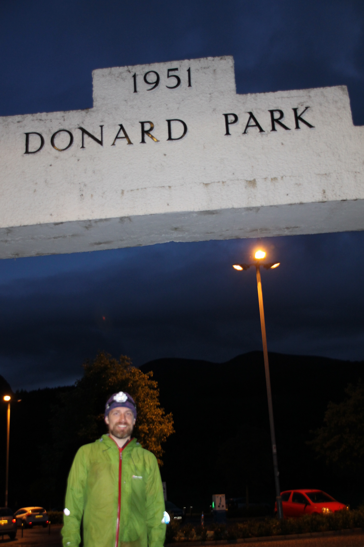
Result! 19 hours 28 minutes!
In the preceding months, I had always imagined an unsupported round. Not just because a self-navigated round is in essence what these rounds are all about, but also because I enjoy the time alone without outside influence. That said, I also wanted the flexibility to start when the weather was right, not when it suited a support crew. If support could be as flexible as me, then that would have been perfect. Dawson was that support, and for this, I am truly grateful. My round would not have been as successful or enjoyable if it was not for this support.
Thanks also to Colm for the banter in the wee hours, and also to Sarah for putting up with all the crazy running things!
Until the next one 🙂
